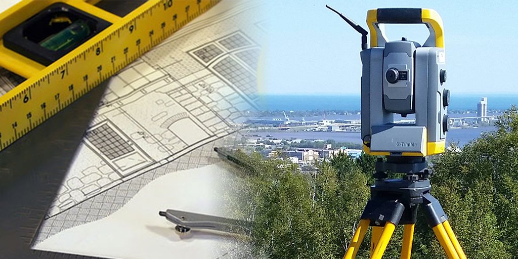
Land survey is the science of applying calculations and making accurate measurement of spatial positions of natural or man-made features on the surface of the Earth. The purpose of conducting a land survey is to locate the positions of selected points on or near the surface of the Earth. For instance, cadastral surveys are done to determine where the land boundaries are located prior to erecting the fences around the yards whereas topographical map is produced for engineers and architects in planning and design.
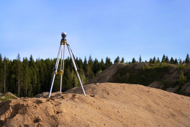
Surveying is a profession requiring knowledge of the principals of mathematics, physical and applied sciences, coupled with relevant requirements of Land Law. Out in the field, our Land Surveyors use High Precision Robotic Switzerland made LEICA Total Stations to obtain measurements. Back in the office, AutoCad software is used by our In-house Support to map out the onsite measurements.